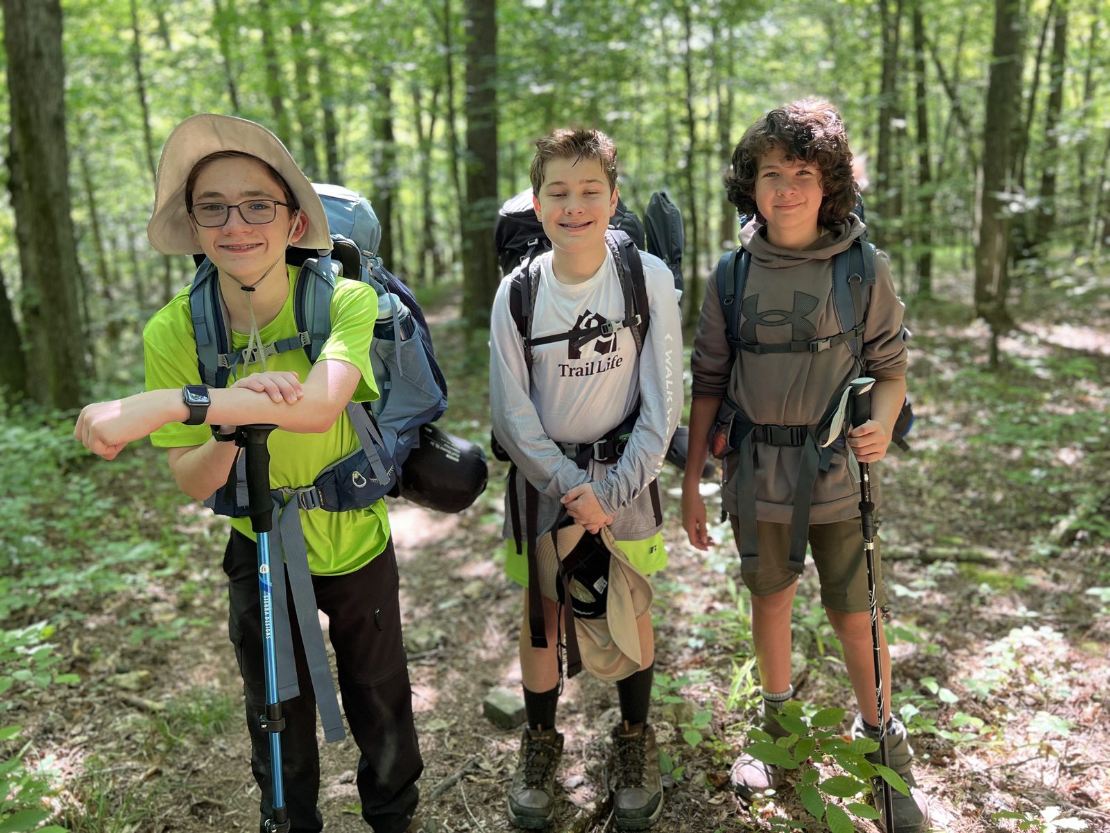
The Trip
Three to four days and about 27 miles through the Ouachita National Forest in Arkansas — the hardest backpacking loop within a day's drive of Texas. The crux is two crossings of the Little Missouri River in the Winding Stairs area, which is why this page watches one river gauge above everything else.
| Distance | ~27 mile loop |
|---|---|
| Duration | 3–4 days |
| Terrain | Ouachita ridges, pine-hardwood forest, two Little Missouri River crossings |
| High-water bailout | Athens–Big Fork Trail |
| Trailhead | Eagle Rock Loop, Ouachita National Forest, AR |
Route
The full ~26.6-mile recorded loop.
River & Weather Conditions
| Gage height | Status | What it means for us |
|---|---|---|
| Below 3.5 | Go | Routine wet crossings |
| 3.5 – 4.0 | Caution | Deep — shorter Trailmen will struggle |
| Above 4.0 | No-go | Do not cross — use the bailout or wait |
| Rose over 1 ft in 24 h | No-go | Flash pulse moving through — automatic no-go |
This river spikes and recedes within a day or two — a falling gauge means conditions improve daily. Forecast rain matters more here than anywhere else on this site: watch the precipitation odds below as closely as the gauge itself.
3-day forecast — trail area
Check the sources
Safety Notes
Why we take this gauge seriously: in June 2010, a flash flood on this same river swept through the Albert Pike campground downstream of the crossings and took twenty lives. We honor that history by treating the numbers above as hard limits, not suggestions. Above 4.0 ft at Langley — or any fast-rising gauge — the troop does not cross, full stop.
The bailout is part of the plan. If water comes up mid-trip, the Athens–Big Fork Trail is the high-water route out, and trip leadership carries the maps for it.
Feet get wet by design. Every Trailman carries water shoes and crossing technique is practiced before we go — poles out, buckles loose, one man moving at a time.
Packing List — Backpacking
Pack weight matters on 27 miles of Ouachita ridges — keep the sleeping bag under 3 lb if you can, and cut everything you won't use twice.
In my pack at the trailhead
- Backpack, 40–75 liters, with rain cover
- Water: 2–3 L bladder plus 1 L Nalgene (3 liters minimum total)
- Duct tape wrapped around the Nalgene (repairs)
- Sleeping bag in stuff sack (under 3 lb recommended)
- Insulated sleeping pad
- Rain shell or poncho
- One pair shorts and short-sleeved shirt
- Water shoes (required — two river crossings)
- Underwear and socks
- Two bandanas
- Toiletries: toothbrush and paste, toilet paper, small towel, biodegradable soap, sunscreen
- Personal first aid supplies
- LED headlamp with fresh batteries
- Mess kit (cup, bowl, spoon/spork)
- Small Bible
- Hard candy (optional)
Worn at the trailhead
- Boots with ankle support (sneakers not recommended) and heavy socks
- Light long-sleeved shirt
- Long pants or rain pants; belt
- Wide-brimmed hat and sunglasses
- Lip balm and bug repellent
- Pocket knife, compass, lighter, whistle
Eagle Rock additions
- Trekking poles (strongly recommended for the crossings)
- Dry-bag or trash-bag pack liner (crossings)
- Camp shoes
Shared patrol gear (divided up)
- Tents
- Fuel canisters (4 or 8 oz ISOPRO)
- Pots with lids and cooking utensils
- Repair and first aid boxes
- Water filters (supplied)
- Don't bring your own food unless cleared with the trip director — meals are prepared patrol-style